
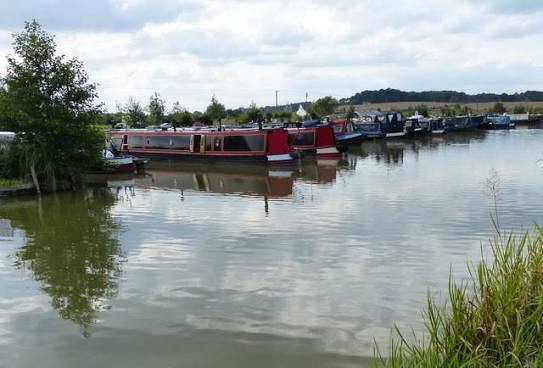
Moorings on the Lee Navigation
Moorings on the Lee Navigation — 45 km of canalised river from Hertford through the Lea Valley to Limehouse.
Type
Canal
Region
Greater London / East of England
Flows through
4 places
Length
45 km (28 miles)
Waterway guide
A closer look at the Lee Navigation
The Lee Navigation is a 45-kilometre canalised river running from Hertford Castle Weir south through Ware, Broxbourne, Waltham Abbey, Enfield and Tottenham to Bow, where it connects to Limehouse Cut and Limehouse Basin for the Thames. One of the oldest navigations in the country, with improvement acts dating back to 1425, it was the route by which malt, grain and gunpowder reached London.
Today it is the spine of the Lee Valley Regional Park, a 26-mile green corridor of reservoirs, marshes, nature reserves and sports venues including the Olympic Park at Stratford. The upper reaches around Ware and Broxbourne are genuinely rural; the lower reaches through Tottenham and Hackney are dense, urban and heavily boated.
The Lee is one of the most important liveaboard waterways in the country. Demand for residential and long-stay moorings between Enfield and Bow is exceptional, with towpath space closely regulated by the Canal & River Trust and marina berths at Springfield, Stonebridge Lock, Broxbourne and Kings Weir subject to waiting lists. Prices fall sharply as you move north towards Hertford, which is where boaters seeking affordable long-stay berths within commuting distance of London tend to look. Rail stations follow the valley the whole way, with fast services into Liverpool Street.
Related reading