
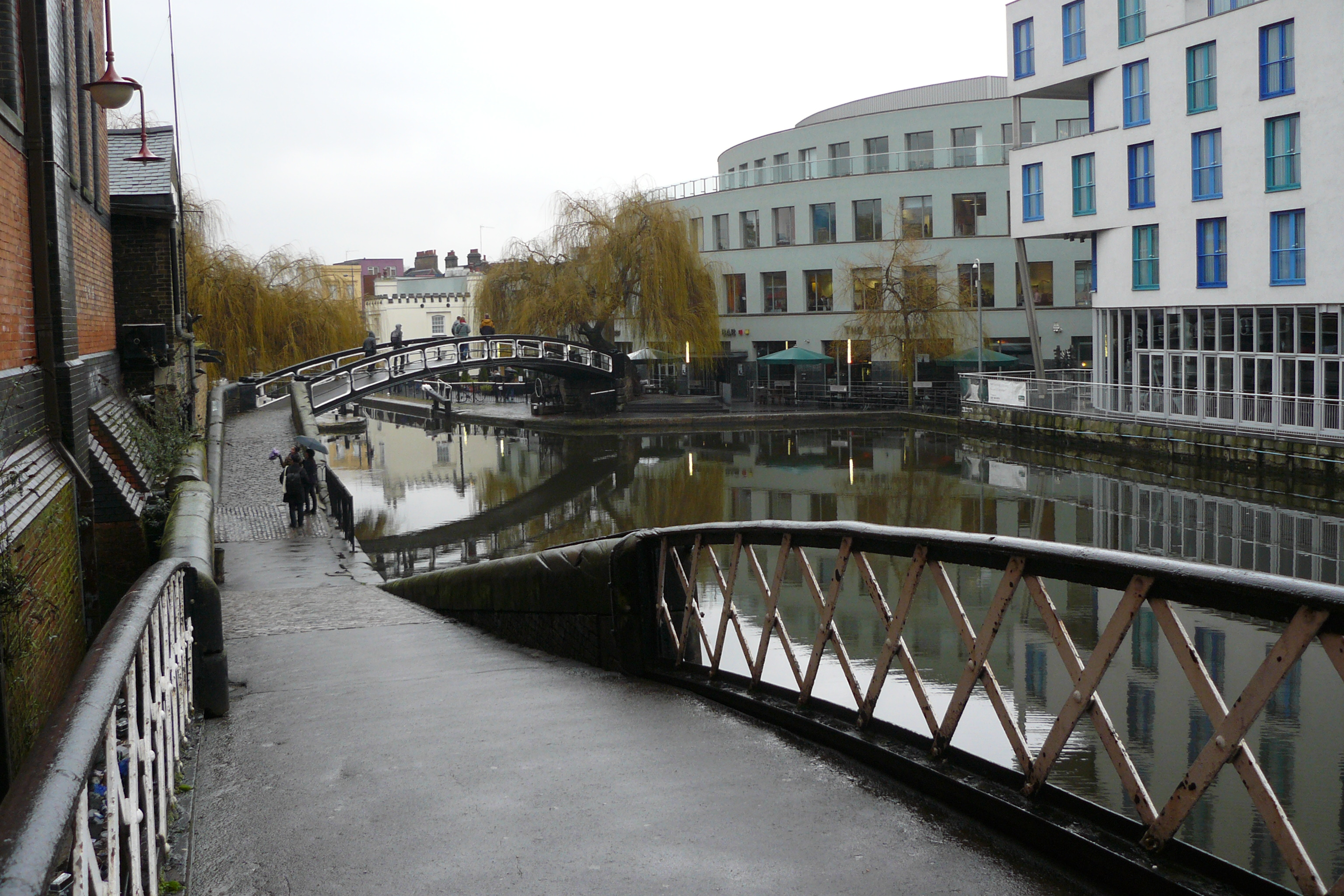
Moorings on the Calder & Hebble Navigation
Moorings on the Calder & Hebble Navigation — West Yorkshire river navigation linking Wakefield, Brighouse and Sowerby Bridge.
Type
Canal
Region
Yorkshire & The Humber
Flows through
4 places
Length
34 km (21 miles)
Waterway guide
A closer look at the Calder & Hebble Navigation
The Calder & Hebble Navigation is a 34-kilometre mixed river and canal navigation running up the Calder Valley from Wakefield through Dewsbury, Mirfield and Brighouse to Sowerby Bridge. Completed in 1770 to a design begun by John Smeaton, it was the artery that carried wool, coal and stone through the industrial West Riding, and it remains a working through-route between the Aire & Calder Navigation and the trans-Pennine canals.
It is a navigation of short, wide locks — the famous 57-foot Calder & Hebble gauge limits boat length, and many locks still need a handspike to work the ground paddles, a quirk boaters either enjoy or endure. The scenery repays the effort: steep wooded valley sides, mill chimneys, stone bridges and the dramatic climb towards the Pennines.
For long-stay mooring, the Calder & Hebble offers good value. Sowerby Bridge Wharf, Shepley Bridge Marina at Mirfield and Savile Town Basin at Dewsbury all provide serviced berths, typically well below southern-network prices. The navigation connects to the Rochdale Canal at Sowerby Bridge and the Huddersfield Broad Canal at Cooper Bridge, so it sits at the hub of the South Pennine Ring. Rail links along the valley are excellent, with Leeds, Manchester and Huddersfield all within easy reach — a practical liveaboard base for commuters.
Related reading